Software portfolio
Research translated into tools.
Each project connects rigorous forest science with accessible workflows for researchers, practitioners and decision-makers.
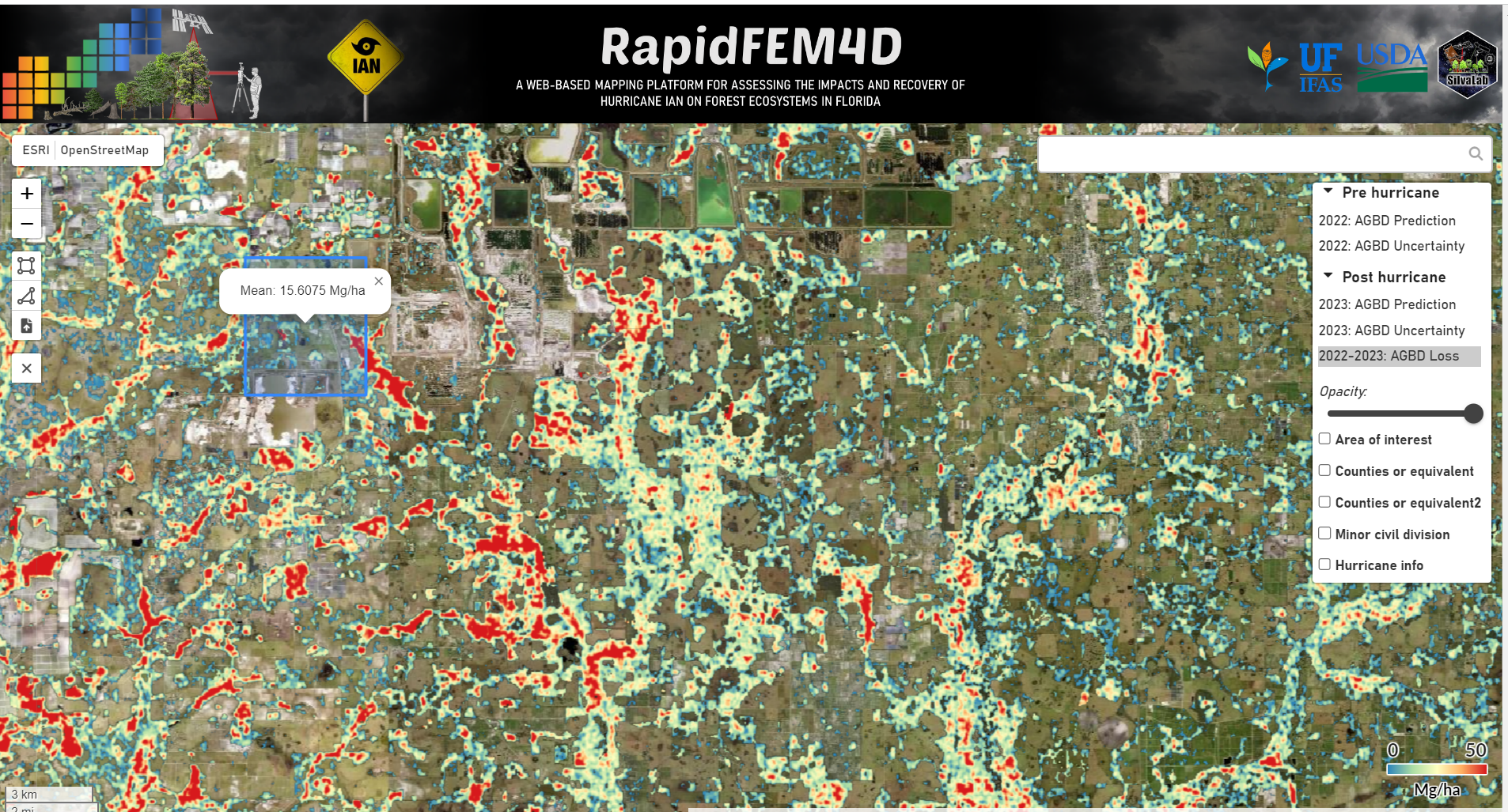
RapidFEM4D
A web-based mapping platform for assessing Hurricane Ian impacts and forest recovery across Florida ecosystems.
Open project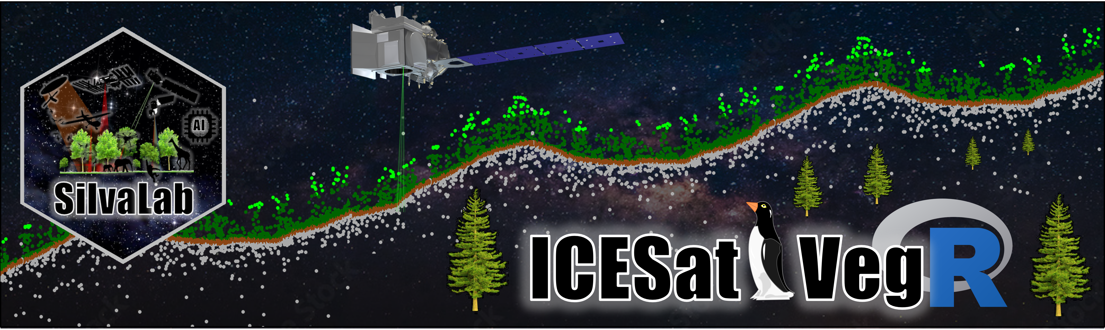
ICESat2VegR
An R package for downloading, processing and visualizing NASA ICESat-2 data for land and vegetation applications.
Open project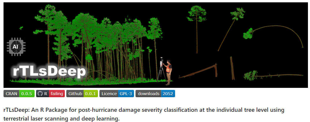
rTLsDeep
Post-hurricane damage-severity classification at individual-tree level using terrestrial laser scanning and deep learning.
Open project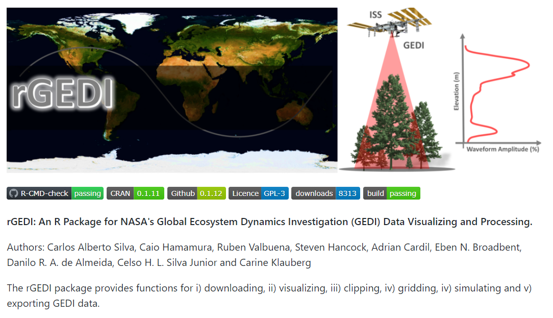
rGEDI
Tools for downloading, visualizing and processing observations from NASA's Global Ecosystem Dynamics Investigation mission.
Open project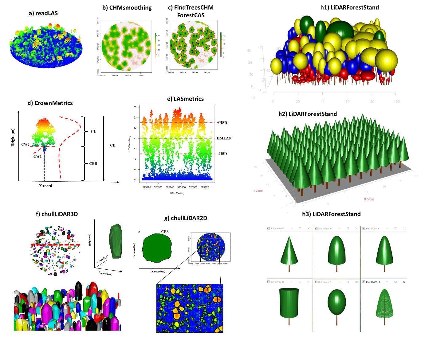
rLiDAR
An R package created for LiDAR data processing and visualization, from point clouds to forest structural metrics.
Open project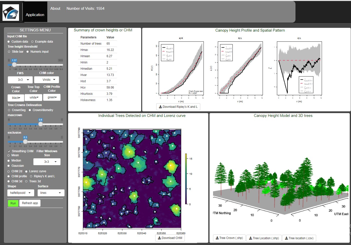
TreeTop
A Shiny application for extracting forest information and individual-tree measurements from LiDAR data.
Open project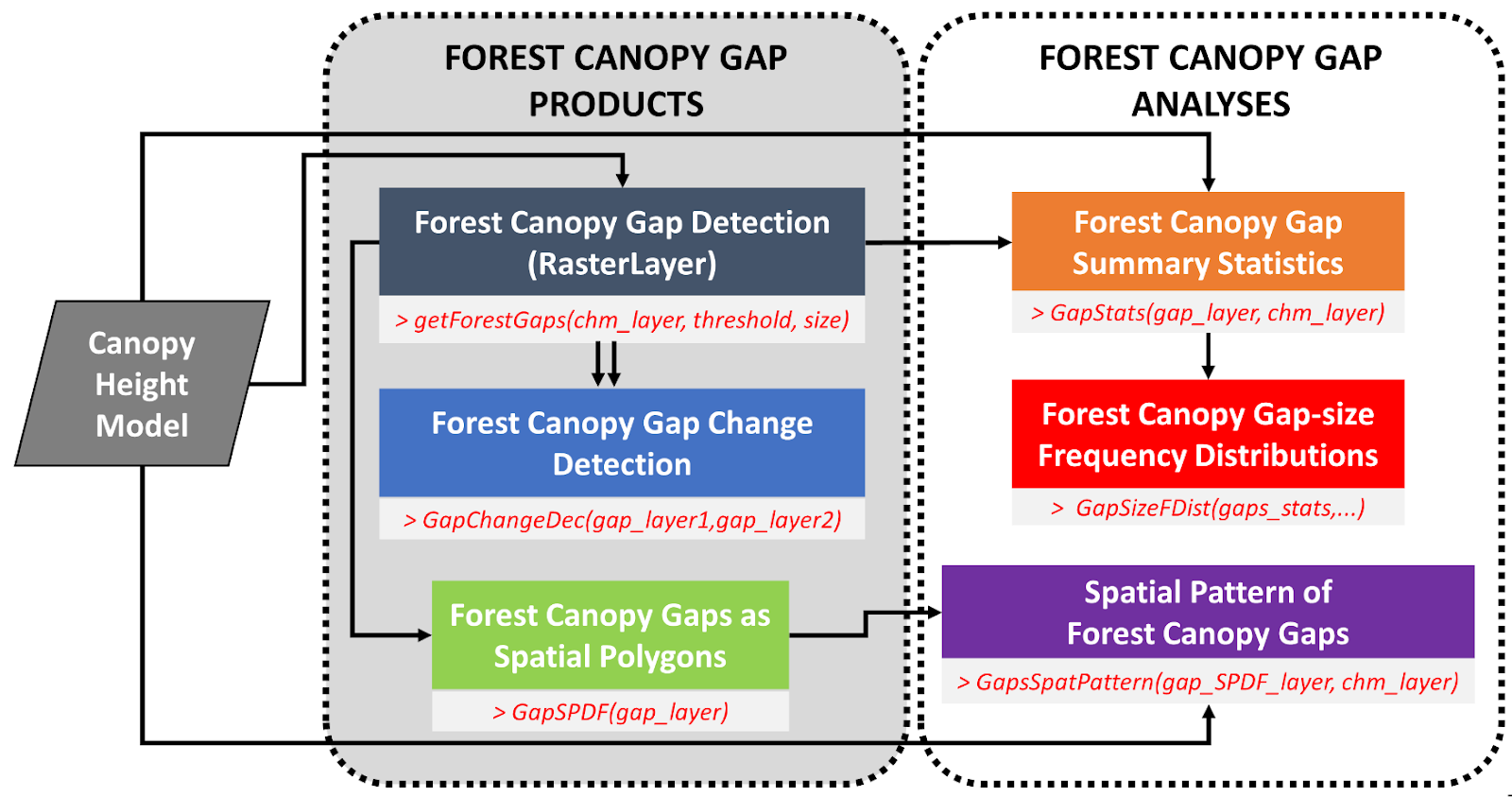
ForestGapR
An R package for tropical-forest gap analysis using canopy-height models derived from airborne laser scanning.
Open projectOpen science
Use it. Test it. Build on it.
Source code, documentation and project repositories are available through each tool above.
Explore SilvaLab on GitHub