Profile
Advancing how we understand changing forests.
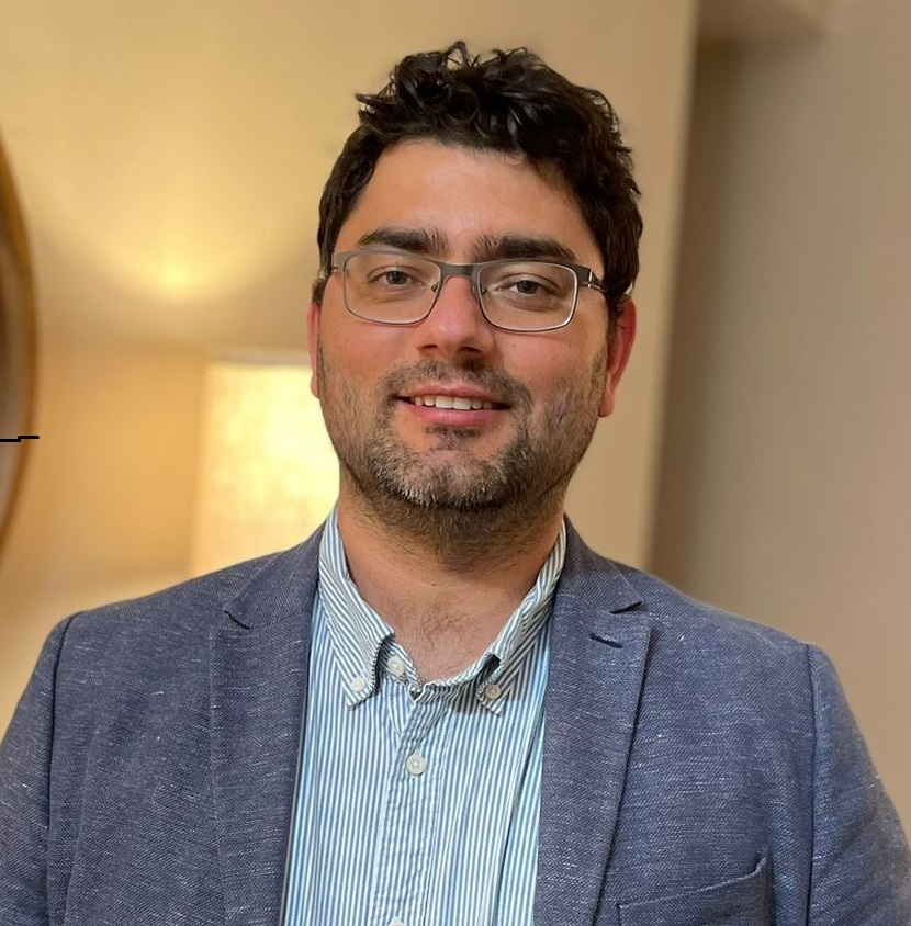
Dr. Carlos Alberto Silva's research focuses on forest ecosystem dynamics through the integration of remote sensing technologies, artificial intelligence and quantitative analysis.
His work addresses critical ecological and management challenges by developing statistical models and open-source tools that use LiDAR from terrestrial, airborne and satellite platforms — including GEDI and ICESat-2 — alongside optical and radar imagery.
This research quantifies forest structure, monitors aboveground biomass and measures the effects of natural and human-induced disturbances such as fire and hurricanes across spatial scales. The resulting insights support sustainable forest management, carbon monitoring and biodiversity conservation.
At SilvaLab, Dr. Silva bridges remote sensing and forest science through tools such as rGEDI, TreeTop, rLiDAR, ForestGapR, leafR and ICESat2VegR, helping scientists, land managers and policymakers monitor forests more accurately and efficiently.
Previously, he worked at the University of Maryland, NASA's Jet Propulsion Laboratory and NASA Goddard Space Flight Center. He is a member of NASA's Carbon Monitoring System and ICESat-2 Science Teams, with projects funded by NASA, NSF, the USDA Forest Service and the Joint Fire Science Program.