01
Forest structure & dynamics
Quantifying forest structure, composition, aboveground biomass and change across spatial scales.
 SilvaLabContact
University of Florida · IFAS
SilvaLab integrates forest biometrics, remote sensing and artificial intelligence to understand how forests change — and help shape better decisions.
Forest Biometrics, Remote Sensing & AI Laboratory
Research focus
We bridge field ecology and Earth observation to measure structure, monitor change and support better forest management.
Quantifying forest structure, composition, aboveground biomass and change across spatial scales.
Connecting terrestrial, airborne and satellite LiDAR with optical and SAR imagery.
Developing statistical and deep-learning models that turn complex observations into actionable insight.
Tracking the effects of fire, hurricanes and management on forests, carbon and biodiversity.
Selected projects
Current and recent initiatives supported by NASA, NSF, USDA, JFSP and partners.
NSF · 2024–2028
A web-based cyberinfrastructure platform for the next generation of 4D forest mapping and monitoring.
Co-InvestigatorNASA CMS · 2023–2026
A multi-scale data-fusion prototype for monitoring carbon dynamics and fire in the Brazilian Cerrado.
Principal InvestigatorNASA ICESat-2 · 2023–2026
Monitoring forest resistance and post-hurricane recovery using ICESat-2, SAR, optical data and ecosystem models.
Principal InvestigatorESTCP · 2023–2027
An innovative wildland fuel mapping tool for prescribed-fire decision support on military installations.
Co-InvestigatorOpen science
SilvaLab develops open-source tools that help scientists and land managers work with LiDAR and satellite observations.
GEDI data download, processing and visualization.
ICESat-2 data for land and vegetation applications.
Tree-level hurricane damage classification with TLS and deep learning.
Extracting forest information from LiDAR point clouds.
LiDAR data processing and visualization for forestry.
Tropical forest gap analysis from airborne laser scanning.
Leadership
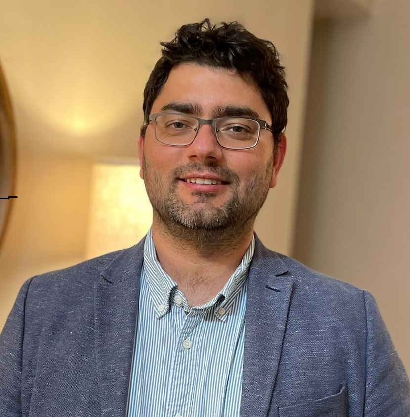
Associate Professor of Quantitative Forest Science and member of NASA's Carbon Monitoring System and ICESat-2 Science Teams.
Dr. Silva advances the understanding of forest ecosystems by integrating LiDAR, optical and radar observations with quantitative analysis and AI. His work turns measurements into practical insight for carbon monitoring, biodiversity conservation and sustainable forest management.
Education Forest Engineering and Forest Resources, USP/ESALQ · Ph.D. in Natural Resources, University of Idaho
Teaching & extension
FOR 3430C
Forest resource measurements, inventory techniques, tree content estimation, stand growth and yield.
3 credits · SpringFOR 3434C
GIS, remote sensing and global positioning systems for forest resource management.
3 credits · Summer BEXTENSION
Connecting University of Florida forest science with youth education and practical resource stewardship.
Explore the programOpportunities
Previous 2025 postdoctoral calls are now archived. For future graduate and research opportunities, contact the lab with your research interests and CV.
ContactContact